Location
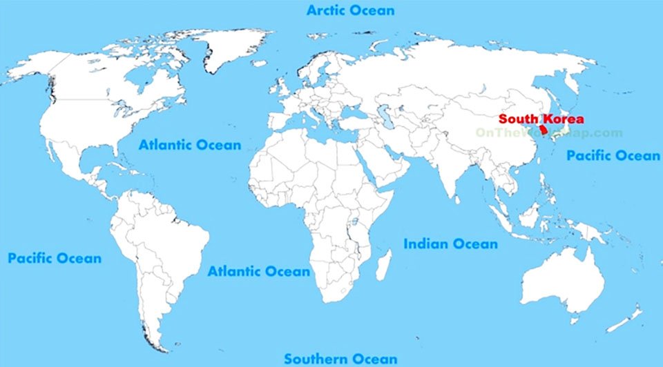
Located in the continent of Asia, South Korea covers 96,920 square kilometers of land and 2,800 square kilometers of water, making it the 109th largest nation in the world with a total area of 99,720 square kilometers.
Located in the continent of Asia, South Korea covers 96,920 square kilometers of land and 2,800 square kilometers of water, making it the 109th largest nation in the world with a total area of 99,720 square kilometers.
The History of Korea stretches from Lower Paleolithic times to the present.[1] The earliest known Korean pottery dates to around 8000 B.C.E., and the Neolithic period began before 6000 B.C.E., followed by that Bronze Age around 2500 B.C.E. The Gojoseon (Old Joseon) kingdom, founded in 2333 B.C.E., eventually stretched from the peninsula to much of Manchuria.[2] By the third century B.C.E., it disintegrated into many successor states.
The population of South Korea is 48,860,500 (2012) and the nation has a density of 504 people per square kilometer.
| Year | Year Population | Density (P/Km²) |
|---|---|---|
| 2018 | 51,164,435 | 526 |
| 2017 | 50,982,212 | 524 |
| 2016 | 50,791,919 | 522 |
| 2015 | 50,593,662 | 520 |
Now!